While there’s no literal magic involved, 3D laser scanning is a technology that continues to impress. This article dives into the different types of scanners available and how they work, with a specific focus on their impact within the US architecture, engineering, and construction (AEC) industry.
Revolutionizing the AEC Workflow
In construction, 3D laser scanning is all about efficiency. Imagine the time it takes to manually measure and document a complex building, like a historic church with intricate details and varying angles. Traditional methods could take days or even weeks, requiring a dedicated team. Then comes the task of converting that data into usable drawings, followed by additional calculations for scaffolding and error checking.
With 3D laser scanning, this entire process can be streamlined. A single technician can capture the entire structure in just a few hours, producing highly accurate data that eliminates the need for multiple site visits and reduces the risk of human error.
Exploring Scanner Options
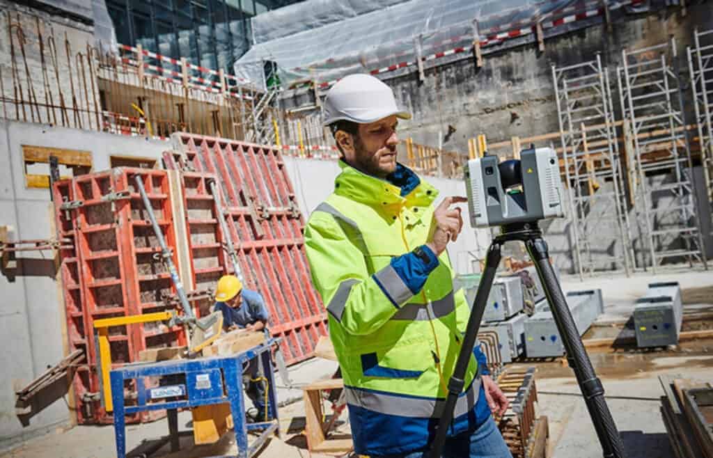
There are various types of 3D scanners available, each with its strengths and ideal applications. For this example, let’s focus on the Leica RTC 3D laser scanner, a popular choice in the US market. This portable scanner offers:
Fast, Easy, and Accurate Measurements: The Leica RTC excels at capturing precise data on facades, structures, and production facilities.
Mobility and Ease of Use: This scanner prioritizes user-friendliness and portability, making it ideal for diverse project settings.
Real-Time Data Analysis: The Leica system allows for immediate data verification, ensuring all necessary information is captured during the initial scan.
Impressive Range and Accuracy: Our Leica scanner boasts a 160-foot range with an accuracy of 1/4 inch, meeting the high standards of the US construction industry.
Understanding the Technology
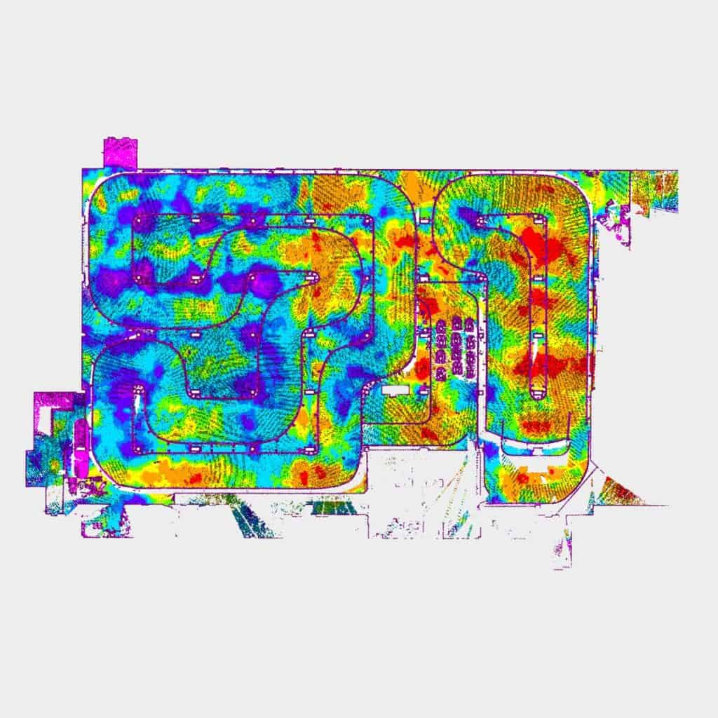
Think of 3D laser scanning as a sophisticated laser rangefinder. It emits a laser beam that bounces off an object, and the scanner measures the time it takes for the beam to return. By strategically positioning the scanner and firing the laser in a 360-degree horizontal and vertical plane, the system captures precise X, Y, and Z coordinates.
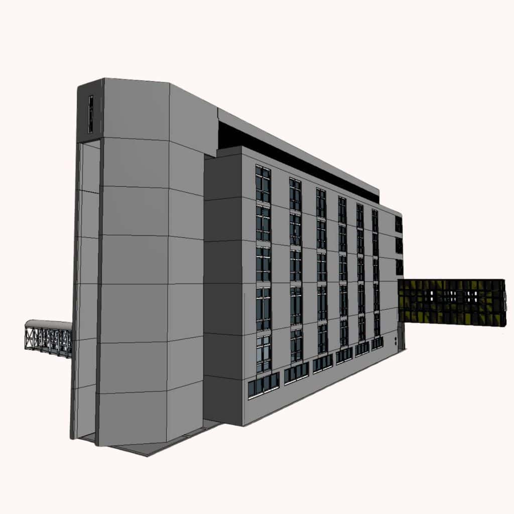
Once all scans are complete, they’re processed and combined into a single “point cloud” file. This point cloud serves as the foundation for creating highly detailed plans, facade drawings, and 3D models, delivering significant time and cost savings for your project.
Ready to Experience the Benefits?
3D laser scanning offers a revolutionary approach to traditional surveying methods. If you’re interested in how this technology can transform your next project, contact us today!